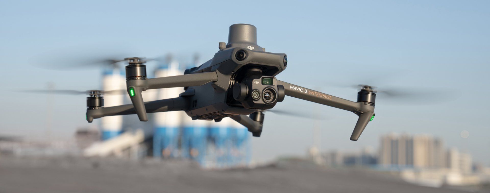
Using The DJI Mavic 3 Enterprise For Drone Survey Tasks And Drone Hire
Here at SkyTech, we recently acquired a DJI Mavic 3 Enterprise for our commercial drone pilots. So this is a perfect opportunity to review this model’s features, and talk about why it’s a great fit for drone survey tasks and general drone hire!
Size Is Everything
When you can pack all of the features of a much larger drone into a 1 kilogram package, it’s a big deal. The Mavic 3 Enterprise has a powerful wide angle camera with a mechanical shutter, a pinpoint 56x zoom camera, an IR lens for thermal readouts and imaging, a real time kinematics (RTK) module for precision measurements, and a massive 45 minute flight time.
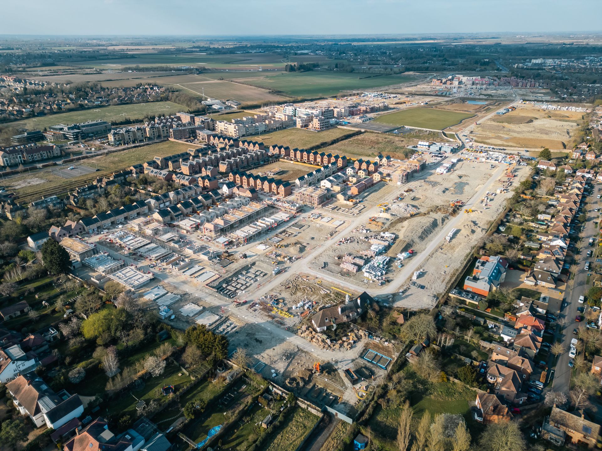
What does this mean in practical terms for someone interested in drone hire? For some clients it might mean a two square kilometer drone survey without the need to recharge or swap batteries. For other clients it means an agile search and rescue platform that can detect body heat. For others still, it means sub-inch-accurate roof and wall measurements for drone inspections. And for the estate agents out there, it means stunning aerial photography from high above a property.
With the ability to navigate gaps of under half a metre, and with the assistance of APAS 5.0 object avoidance features, internal surveys are possible without the need to drop down to a micro drone and lose out on all of the Mavic 3’s incredible features. High resolution, wide angle shots can bring the inside of any structure to life.
The Ideal Cameras For Drone Survey Work
The DJI Mavic 3E & Mavic 3T are packing a top of the line camera suite.
The 20 megapixel wide angle lens is perfect for large surveys that require the ability to zoom in and see fine details. It has a 84° field of view, able to visualise massive swaths of landscape for either still images or high quality video with up to 4k resolution. Smart low light shooting and panorama modes give the pilot a lot of different options for getting that perfect shot.
The 12 megapixel 56x zoom lens is ideal for fine detail work. Even at an incredible height or distance, the zoom lens can capture still images or video in sharp 4k resolution. It has a virtual programmable shutter speed of between 8 to 1/8000 of a second.
Finally, the 640 × 512 thermal lens can accurately capture temperatures of 0° to 500° C in low gain mode, and -20° to 150° C in high gain mode.
So whether your drone survey requires massive panoramas, detailed snapshots, or complete thermal mapping, the DJI Mavic 3E and 3T is right for the job.
What The Heck Is Real Time Kinematics (RTK)?
This feature is what separates the pros from the weekend warriors. Real time kinematics, or RTK for short, is a hyper accurate positioning system for drones and other vertical-capable platforms.
How does it work? Via differential GPS. Imagine setting up a base station in a static location, and then flying your drone into a survey area. By triangulating the position of the drone and the base station at the same time, and then comparing the response time to each of their three positioning satellites, you can get incredibly accurate 3D spatial information.
In the case of the Mavic 3E, setting a position with RTK active will give you a horizontal positional fidelity of 1 cm + 1 ppm and a vertical positional fidelity of 1.5 cm + 1 ppm. In other words: Sub inch positioning calculations.
This means that RTK assisted drone surveys are appropriate for the vast majority of sensitive construction jobs, including civil engineering, groundworks, and multi-story building projects.
How Is Skytech Using Their New Technology?
The DJI Mavic 3 Enterprise fits into a few specific niches, a clear functional improvement over the rest of our drone hire fleet:
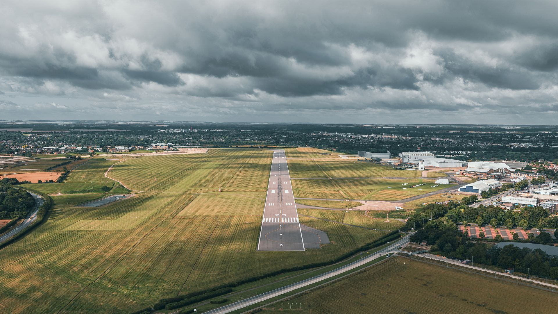
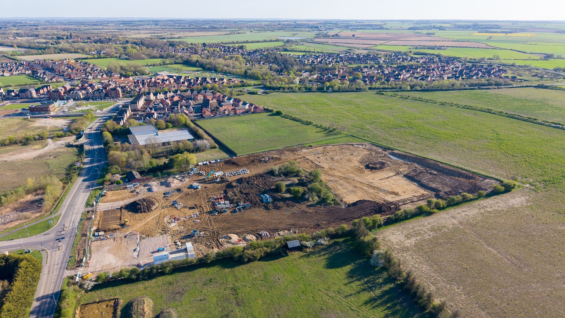
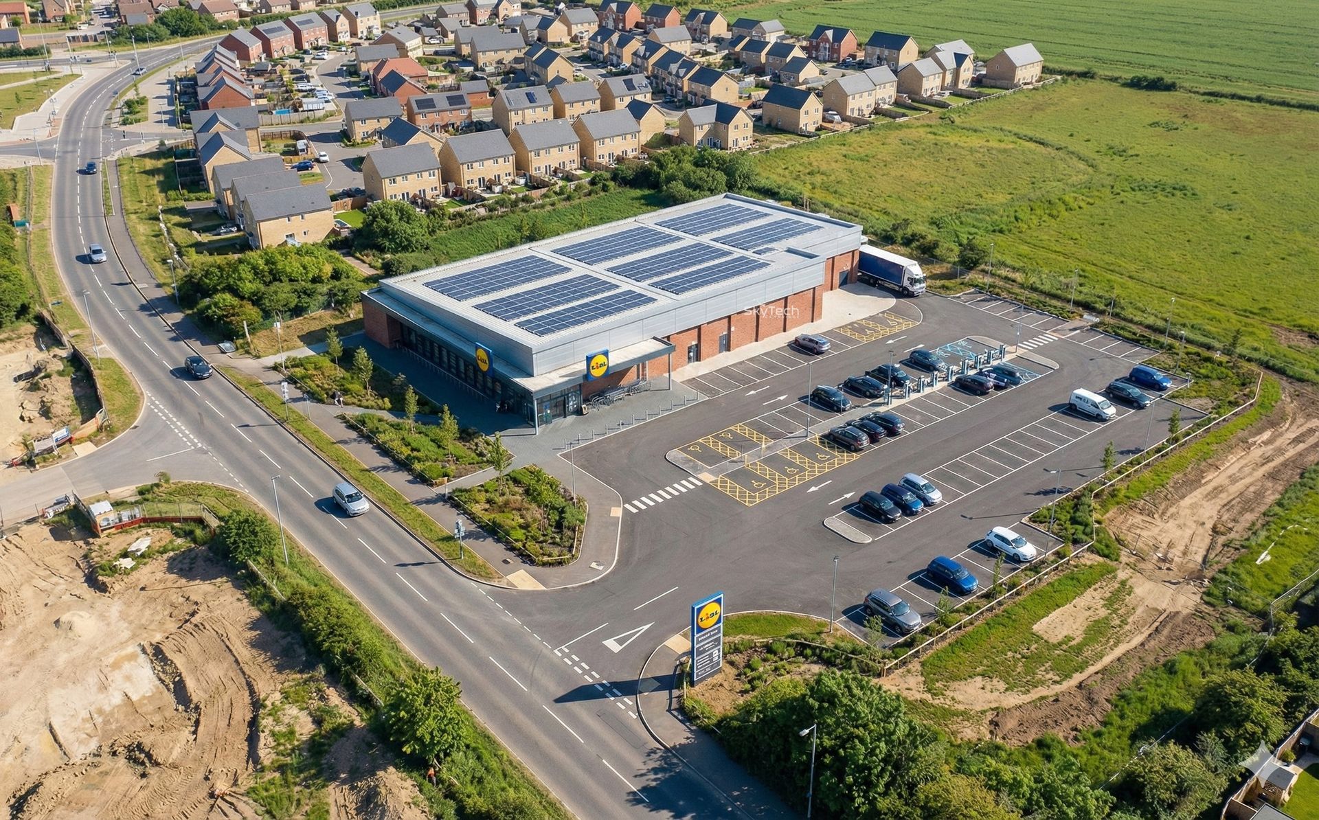
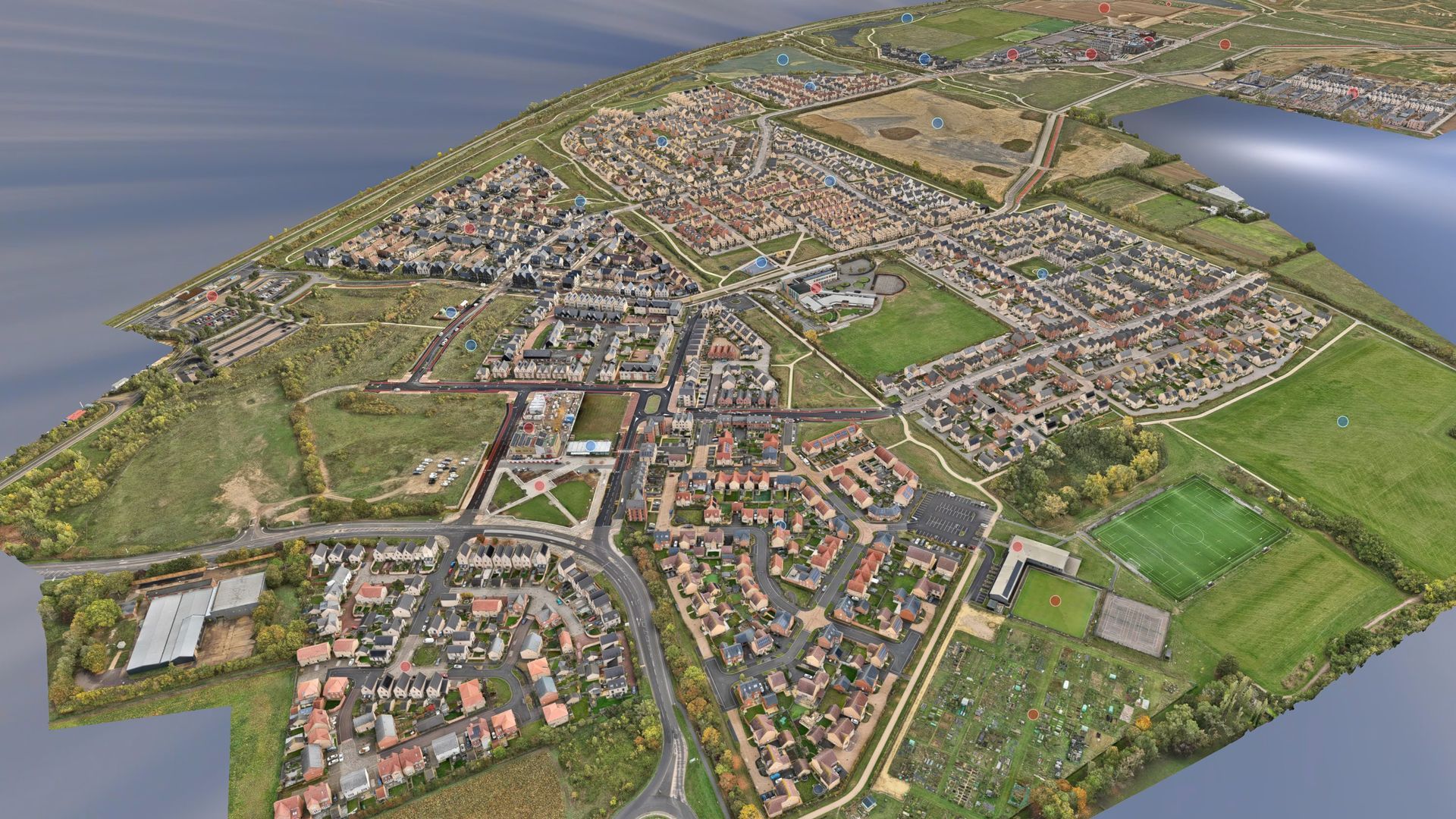
Photogrammetric topographic surveys: The 3E completely eliminates the most painful groundwork from large area mapping. Not only is the range and speed impressive, but the level of detail is astounding. This new kit is going to change the way that we do high end composite mapping forever.
3D modelling: The ability to get sub-inch accuracy via the RTK module is a game changer. We’re now equipped to create massive (and highly accurate) 3D virtual stages. This goes beyond just object mapping and relative size and distance. Entire structures or topographical phenomena can be mapped. This also includes critical environmental information such as heat and light mapping.
Thermal imaging: The low and high gain modes on the thermal lens give us the flexibility to execute factory heat maps, record environmental data, and help with life saving tasks such as searching for the heat signatures of survivors in a cave in or building collapse.
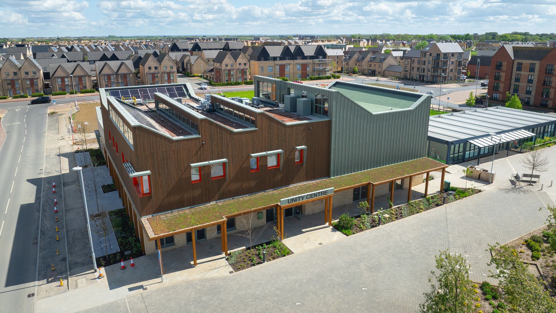
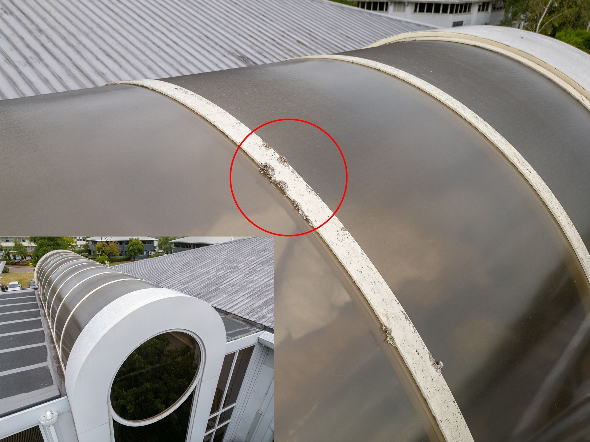
Condition reports for building and asset drone inspections: The combination of high resolution (via the wide angle lens) and high positional fidelity (via RTK) means that the results of our reports will be more accurate than ever. Being able to confidently submit figures in the plus or minus 2 cm range over the scope of an entire construction site is an amazing feeling. At the same time, we’ll be able to provide corroborating visual evidence that puts other drones to shame.
Event recording: The Mavic’s smooth 3-axis gimbal lends itself to some unique shots! High end drones are being used to capture everything from rowing events to house parties, from extreme sports to corporate functions. We even work with concert producers and venue owners to capture live music events from incredible angles, which they can use in future promotional material or as part of a documentary.
For More Information On SkyTech’s Drone Hire Services
These are just some of the many services that we offer. If you want to leverage this amazing new tech, helmed by some of the best CAA certified drone pilots in the U.K., contact us. We’ll be more than happy to talk about our drone survey, drone inspection, and other drone hire services based on your particular needs!