360° Drone Panoramas and InteractiveTours
Our 360° drone imagery is captured in exceptional detail and presented in a fully interactive web-based secure private or public facing environment. Think of it like Google Earth but containing highly detailed imagery and most importantly it is up to date.
The interactive environments are created from hundreds of high resolution drone photographs allowing the end-user to view a location or series of linked locations from the comfort of their home or office. Each environment can be tailored to include a number of custom interactive elements such as videos, photos, web links, text and graphical overlays, file downloads and much more. Everything is securely contained within the environment.
It is the perfect way to present a multitude of different data sets to clients or customers in an interactive environment. All the data presented to them is relevant to that particular location and you control what they can and can't see during their visit.
There is also no limit to how many different locations can be 'linked' together to provide a seamless user experience.
Internal 360° Commercial Building Tours
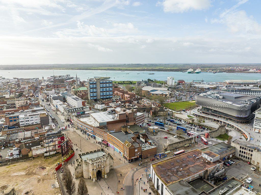
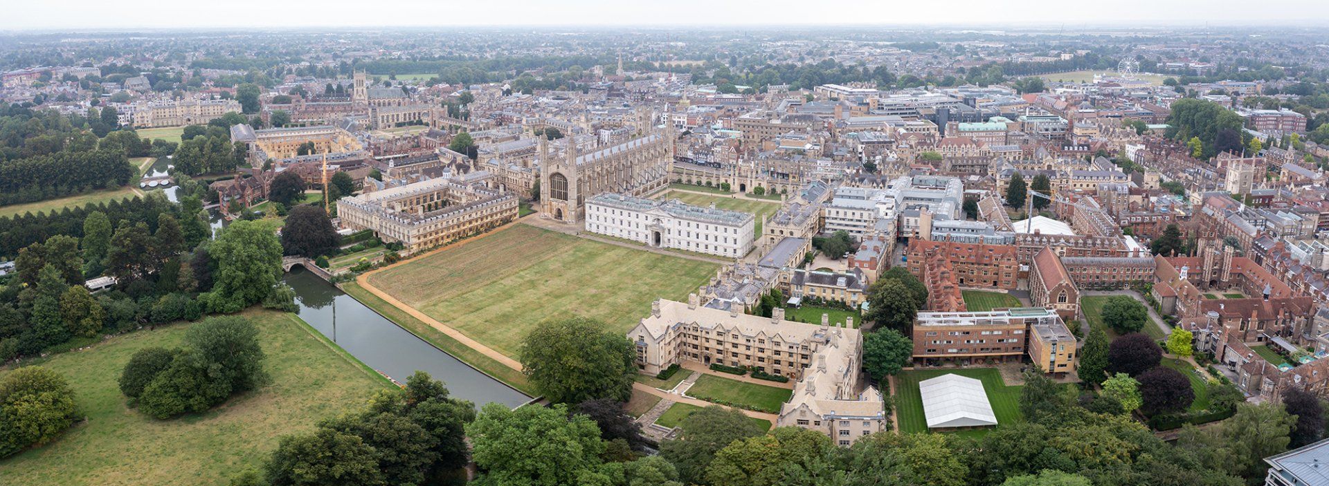
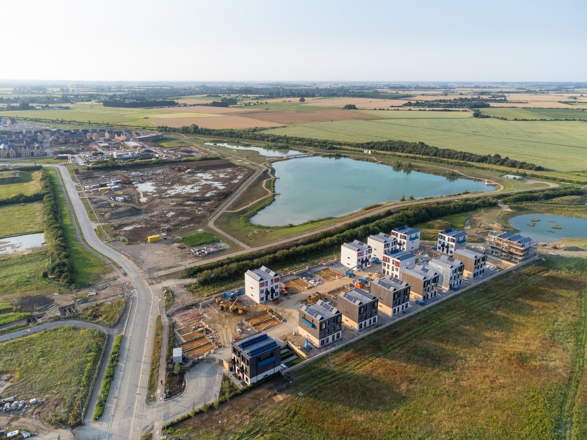
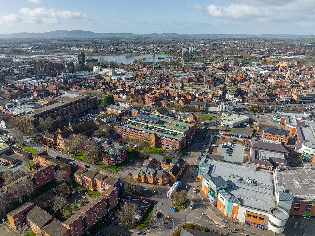
360° Drone Tour Samples
These tours highlight a few examples of how different viewpoints can be linked together to create 'interactive' tours allowing users to move seamlessly between locations.
Tours open in a separate window and are best viewed on a Laptop/PC/MAC.
Tours can be navigated by using either the computer mouse or trackpad.