Unity Centre Northstowe: Creating a Seamless Drone Fly-Through with 3DGS Technology
Creating a Seamless Fly-Through Video and 360° Virtual Tour for the New Unity Centre in Northstowe
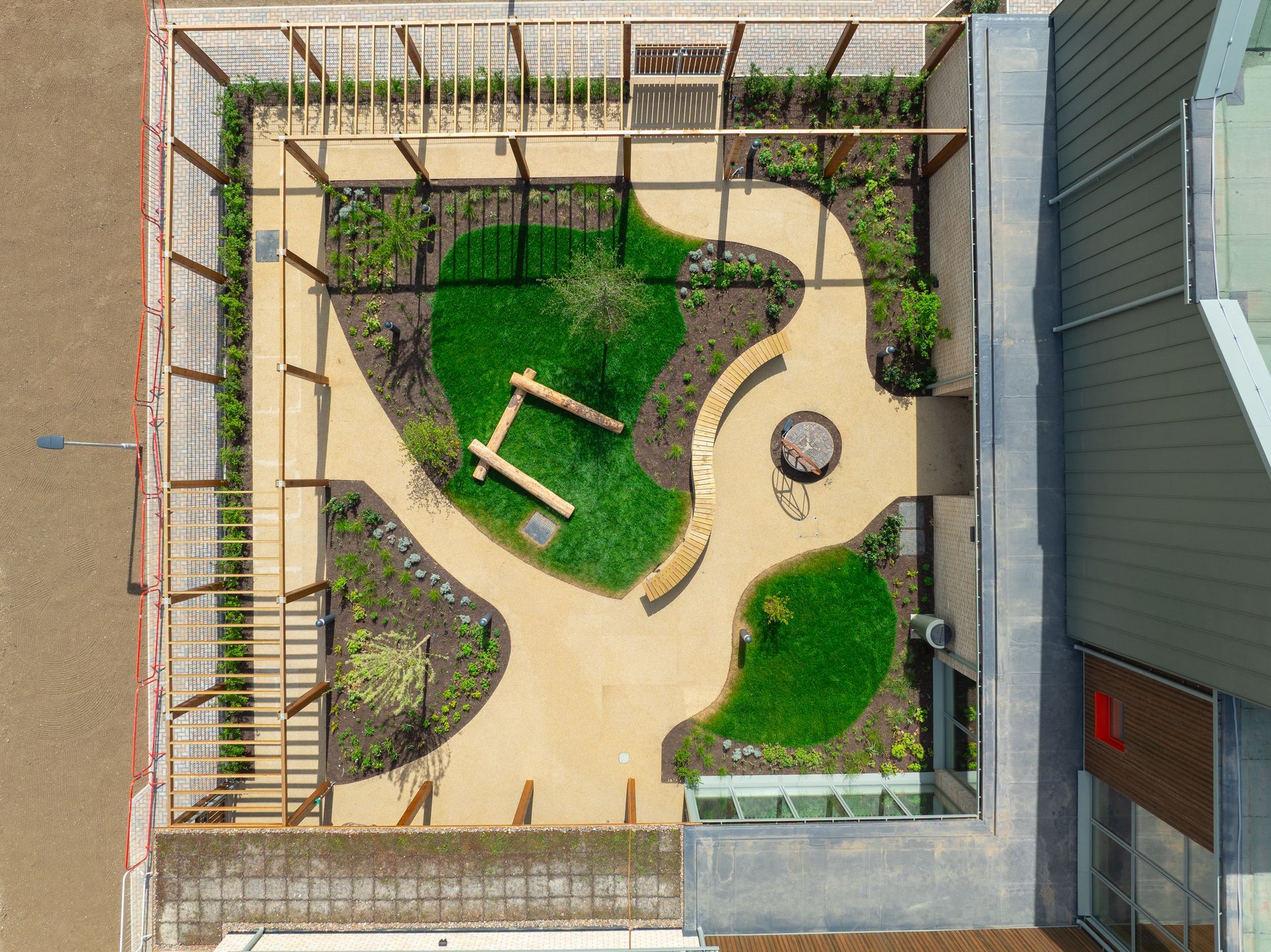
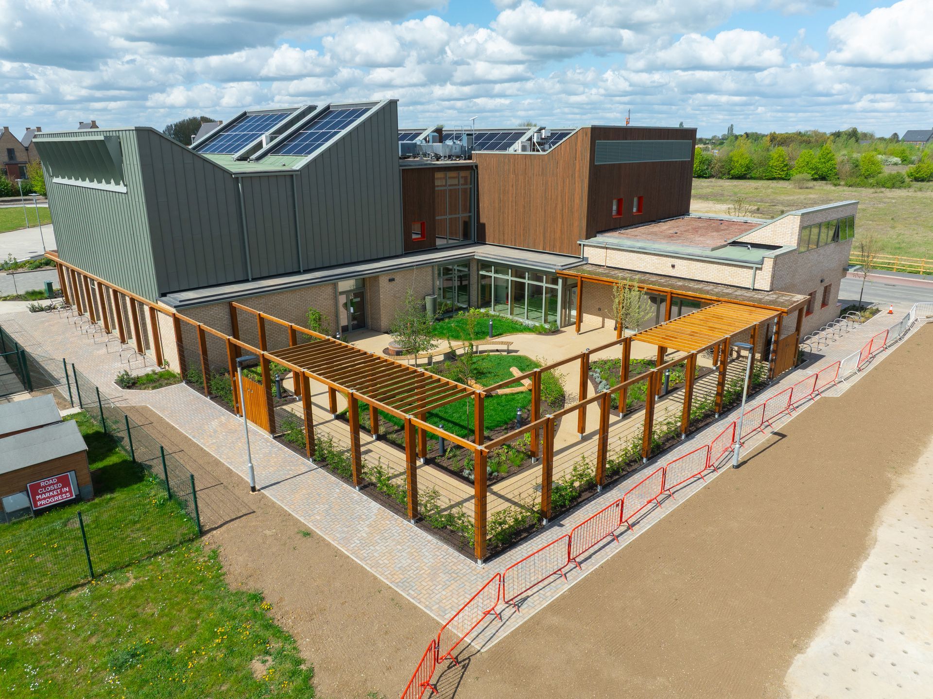
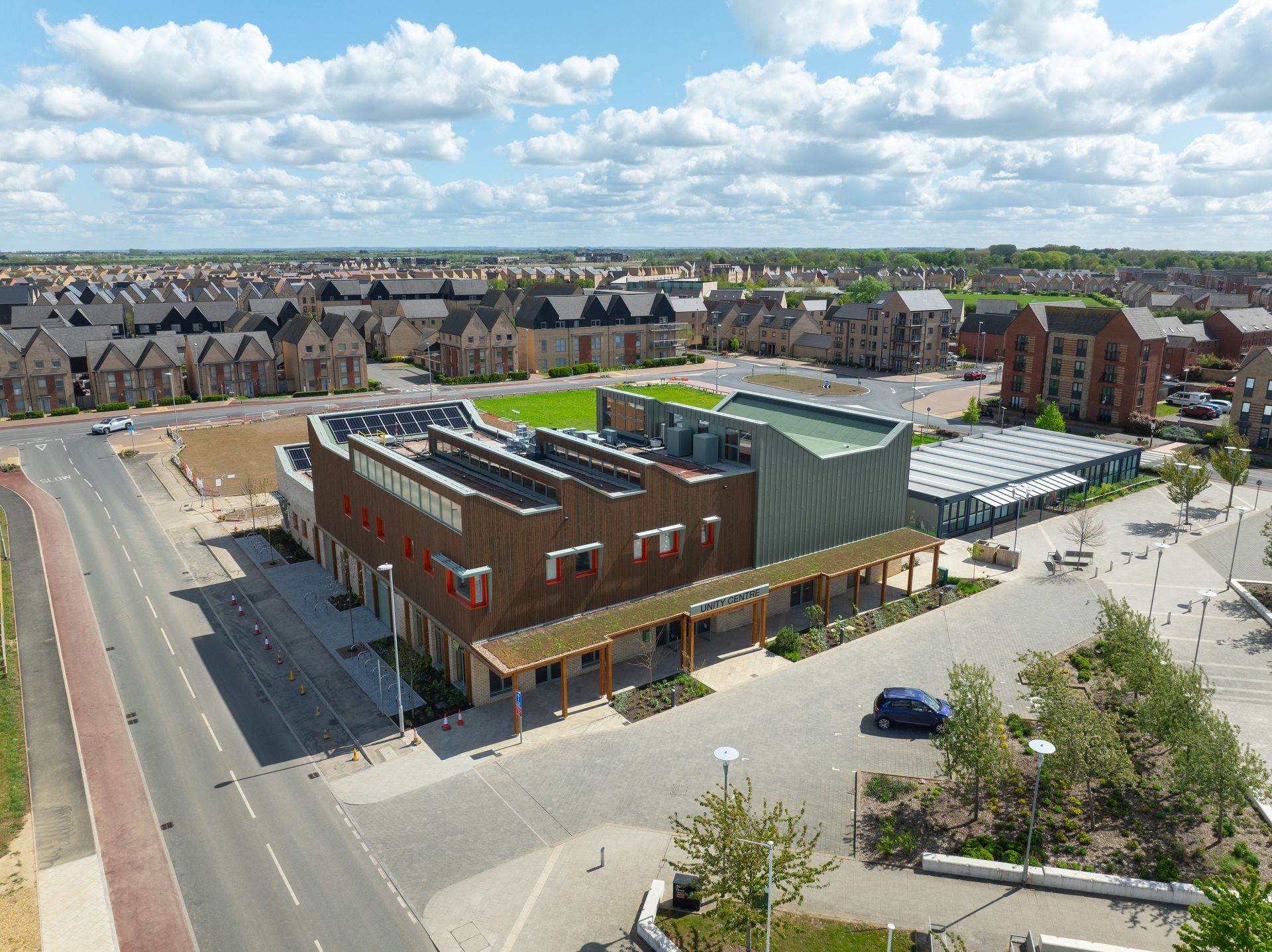
Skytech Cambridge was pleased to help document the newly completed Unity Centre in Northstowe through a combination of external drone filming, internal 3D Gaussian Splatting visualisation, a full 360° navigable virtual tour and external drone photography.
The aim was to create a clear and engaging set of visual assets that could help showcase the building both inside and out. By combining traditional drone video with modern internal 3D visualisation, we were able to produce a seamless “fly-through” style video tour that takes viewers from the exterior of the building into the internal spaces, giving a strong sense of layout, design and atmosphere.
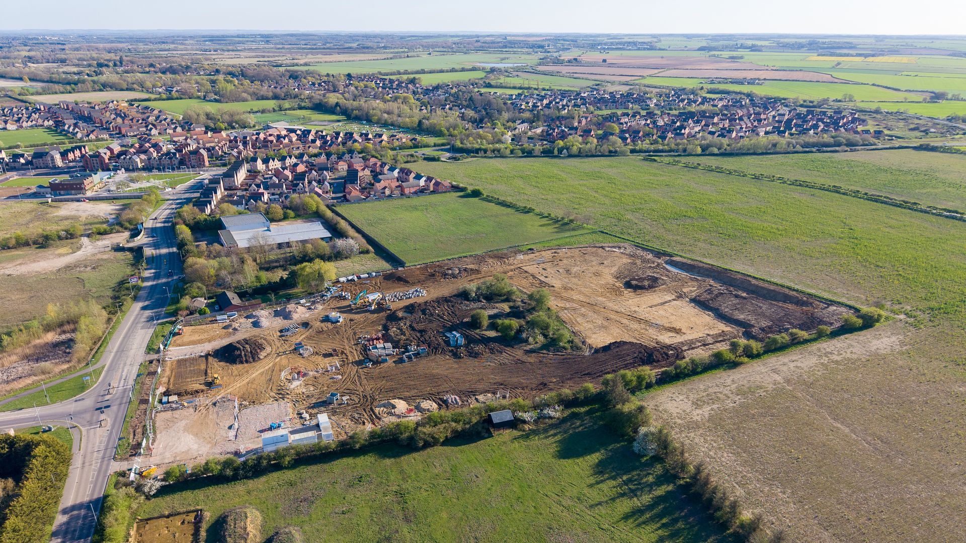
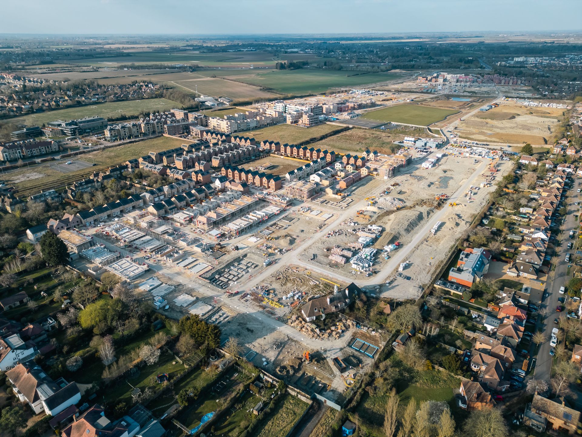
The Unity Centre is a landmark new community building serving Phase 1 of Northstowe. South Cambridgeshire District Council and Kier Construction completed the building in March 2026, with the keys handed over to Northstowe Town Council, who now operate the facility. The centre opened to the public from 30 March 2026.
Combining Drone Video with Internal 3DGS Visualisation
For this project, we created a fly-through video tour that combines external drone footage with internal 3DGS visualisation.
The external drone filming helps establish the building in its setting, showing the scale, architecture and surrounding Northstowe context. The internal 3DGS visualisation then allows the video to move through the building in a smooth and visually engaging way, creating the impression of a continuous journey from outside to inside.
This type of approach is particularly useful for newly completed buildings, public spaces and community facilities, as it allows people to understand the building without needing to physically visit. It is also a valuable tool for councils, developers, architects and project teams who want to promote a completed scheme in a way that is more immersive than standard photography alone.
Full 360° Navigable Virtual Tour
Alongside the fly-through video, we also created a full 360° navigable tour of the Unity Centre.
This type of tour works in a similar way to Matterport-style virtual tours, allowing users to move through the building at their own pace, look around each space and understand how the different areas connect. It is ideal for embedding directly into a website article, giving visitors an interactive way to explore the centre online.
For community buildings, commercial premises, schools, heritage sites and public facilities, 360° tours provide a simple and accessible way to showcase a space before people arrive in person. They can also help with bookings, venue promotion, stakeholder engagement and general public awareness.
Visual Content for Public Buildings, Developments and Community Spaces
The Unity Centre project is a good example of how multiple visual capture methods can work together.
Rather than relying on a single video or set of photographs, the final package included:
- A seamless fly-through video tour combining external drone video and internal 3DGS visualisation
- A full 360° navigable virtual tour for website embedding
- External drone photography of the completed building
Together, these assets provide a more complete way to present the project, helping viewers understand the design, layout, setting and purpose of the building.
For councils, developers, architects and property teams, this type of content can be used across websites, social media, stakeholder updates, public consultations, project handovers and long-term promotional material.